
Trace a Raymore Street Directory
For a whole-street question, work outward from one normalized situs address. Cass County separates assessment data, mapped parcel geography, and recorded instruments. That separation matters. A deed holder can have an out-of-town mailing address, and a transaction party can be someone other than the person tied to the parcel at a later date. The useful result is a dated chain of property evidence, not an unsupported list of people on a Raymore street.
Start with the house number, directional, street name, street type, unit or lot, city, state, ZIP, and date being researched. Keep the parcel number, legal description, subdivision, lot, block, and instrument number together as the work proceeds. Those fields survive street-label changes better than a casual address match. For older material, the current address may be only a starting label, so compare it with the plat and the wording printed in the historical record.
- Search the address in the Cass Assessor form. Record the PIN, situs address, deed holder, legal description, and assessment year if it appears. A parcel result identifies an assessment connection, not an occupant.
- Open the same location in the county map viewer. Check the parcel outline, adjoining lots, street continuity, and subdivision label against the assessor result.
- Use the legal description or current deed-holder name in the Recorder index. Read the instrument type and recording date before treating a name as part of a title chain.
- For an election question, request dated public voter material or inspect a street-arranged precinct register under Missouri law. The online voter lookup is an identity-confirmation form, not a street-wide directory.
- For a historical connection, use the 1908 county directory, newspapers, deed books, or library microfilm. No official Cass or Raymore reverse-directory run was located, so do not assume a criss-cross book exists.
Note: Capture the source date and exact place label before comparing records from different Raymore growth periods.
Search Raymore Streets by Parcel
The Cass County real-estate search has an address form for Raymore parcels. Its city selector includes RAYMORE, while house number and street name narrow a street one parcel at a time. A PIN accepts wildcard help, and the portal also exposes deed holder, DBA, legal description, acreage, and photo filters. The captured form did not expose online historical coverage dates, so a blank result should not be treated as proof that no earlier parcel record exists.
| Assessor field | How it works | Street-directory use |
|---|---|---|
| Parcel number (PIN) | Accepts a prefix or % wildcard pattern | Connects an address to a stable parcel identifier |
| Deed Holder | Autocomplete/datalist control | Supplies a name to verify in recorded instruments |
| House Number | Address-search control | Narrows a long street to one parcel |
| Street Name | Address-search control | Finds parcels sharing a Raymore street label |
| City | Includes RAYMORE | Limits the query to the local municipal label |
| Legal Description | Text field | Checks lot, block, subdivision, and deed-chain matches |
| Lot Area | Minimum and maximum acreage controls | Separates similarly named results |
| Photo filter | All parcels or parcels with photos | Shows only whether the assessment system flags a photo |
Open the captured assessor search before entering a street query. It shows the address, parcel, and deed-holder controls available for a Raymore street directory search.
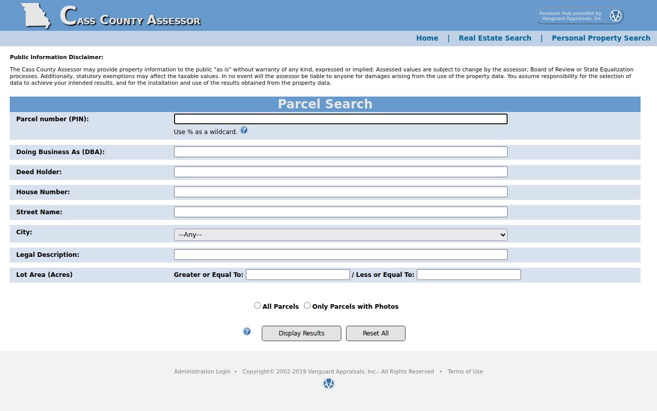
The form’s separate fields make it possible to refine a broad street match without copying a personal mailing address into research notes.
Map Raymore Street Parcels
The Cass assessment map viewer is a spatial check, not a roster of residents. Use it to compare parcel lines, street layout, subdivision context, and a target PIN with the assessor result. The JavaScript map did not expose a stable text inventory of all attributes during research, so any attribute name that appears only in the client should be verified at the time of use.
Raymore’s city map collection adds zoning, ward, subdivision, street, parks, tax-district, and future-land-use layers. Those map purposes do not match each other. A ward can change after redistricting, while a recorded plat can retain an older lot and block description. The street-directory value comes from keeping the map type and publication date with the result.
Use the captured Cass GIS parcel viewer to inspect the map context around an address after the parcel has been identified.
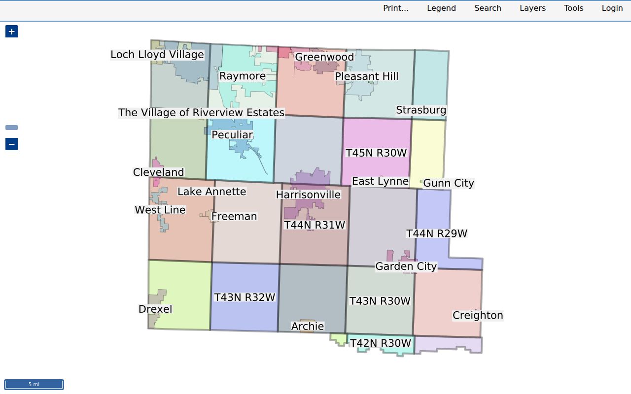
The visible parcel boundaries support a careful comparison of lots along the same street, but they do not identify who occupies those parcels.
Note: Retain the map scale, visible legend, and access date because imagery and layer dates were not exposed in the captured text.
Raymore Street Directory Records
Several Cass County and Raymore systems can be searched or requested with an address, parcel, or legal-description connection. They should be read as separate record types. The Assessor and GIS provide current parcel context; the Recorder supplies the instrument trail; city materials provide municipal context; election files are regulated and date-specific. No one row below establishes current residency by itself.
| Address-linked source | Custodian | What it can show | Access path |
|---|---|---|---|
| Assessment record | Cass County Assessor | PIN, situs address, deed holder, legal description, acreage, photos or sketches where shown | Online address/PIN form; office follow-up |
| Assessment map | Cass County GIS | Parcel outline, street, map context, adjoining parcels | Online map client |
| Recorded instrument | Cass County Recorder of Deeds | Deeds, releases, plats, liens, surveys, restrictions, and legal descriptions | Web index, office material, or historical repository by era |
| Plat or subdivision record | Recorder and city map sources | Lot, block, street naming, and original layout context | Recorded-instrument search or custodian request |
| Public voter material | Cass County Clerk/Election Authority | Statutory fields in a dated file or street-arranged precinct register | Specific request or reasonable-time inspection rules apply |
| City permanent record | Raymore City Clerk | Minutes, ordinances, budgets, and other dated municipal documents | Online entry point or Sunshine request |
The chain is practical: address to parcel, parcel to legal description, legal description to recorded instrument, then date and map context. A voter-file request should state the election or canvass date, desired scope, and statutory output sought. The statewide lookup requires exact registered identity fields and cannot replace that process.
Follow Raymore Deeds by Street
The Cass County Recorder of Deeds records deeds, deeds of trust, assignments, releases, plats, surveys, liens, restrictions, powers of attorney, and related instruments. The online real-estate index covers 1980 forward according to the library guide. The Recorder office can supply real-estate material from 1940 forward, while material from 1940 and older is held through the Cass County Historical Society. The online path requires a free account or documented GUEST access.
Begin with the current grantee or legal description. Then search backward: the prior grantor becomes a grantee in an earlier transaction, subject to a matching legal description. A grantor conveys or releases an interest; a grantee receives one. A deed of trust, release, lien, or power of attorney may name people without transferring full title, so instrument type is essential. The index is a finding aid, while the image or certified copy supports a consequential legal-description or name claim.
Use the Recorder index entry screen to reach the documented account and guest route for Raymore street-directory deed research.
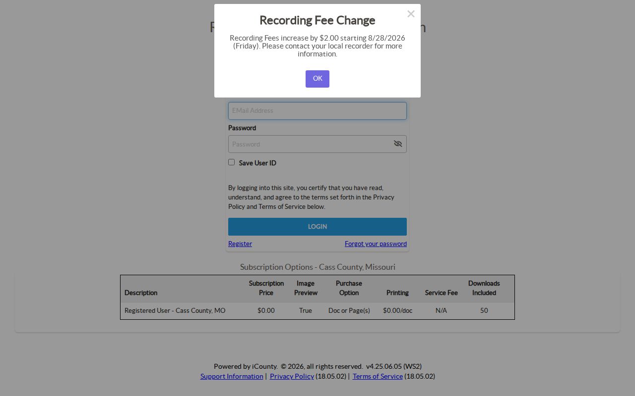
The entry screen starts a deed search, but a name in an instrument is not proof that the person currently belongs to the address.
Note: The published schedule lists regular copies at $1 per page, but confirm page count and certification needs with the Recorder.
Raymore Streets Have Layers
Raymore’s first town layout was platted in 1874. In the original pattern, north and south streets were named for presidents and east and west streets for trees. Later subdivision growth added another geography: Maplewood appears in the city history for 1964, followed by Bridlecroft and Silver Lake in 1966. A street directory search can therefore meet an original plat label, a current map label, a subdivision name, a ward, a ZIP, or a postal city label for the same general place.
City policy adds a separate addressing role. Raymore assigns final street names and addresses, checks names before plat recording, and seeks to avoid duplicate or confusing names across Raymore and nearby communities. When an older deed, newspaper, or directory uses a rural route or another place name, search the original wording, the lot and block, and the later address separately. No official date-specific Raymore renumbering or annexation crosswalk was located.
The Raymore map collection supplies dated street and subdivision context, while a recorded plat remains stronger for original-layout questions.
Match Raymore Streets to Postal Records
For a mailing-format check, use the USPS ZIP Code Lookup. It supports address, city-and-state, and ZIP searches. The official Missouri ZIP/city dataset maps Raymore in Cass County to 64083, subject to address validation. USPS also warns that a ZIP result does not prove that a particular person or company is at an address.
Postal geography is not city-limit, parcel, subdivision, ward, or precinct geography. A 2008 USPS realignment moved 25 deliveries from 64082 to Raymore 64083, effective July 19. That change did not rewrite older deeds or newspaper place labels. Keep the printed mailing date and locality exactly as the historical source shows it, then use the plat, city address policy, or GIS to make a supported modern cross-reference.
Read Raymore Adjacent Parcels Carefully
Neighboring parcels help test street continuity and lot layout. After locating the target PIN or normalized situs address, zoom until parcel lines and labels are legible. Record the target legal description, subdivision, lot, block, and neighboring PINs only when the viewer exposes them. Check each adjoining parcel separately. Shared driveways, similar street numbers, or the same subdivision name do not merge two parcels into one record.
The Cass County GIS landing page links the county assessment-map route used for this comparison.
The county GIS route supports a visual parcel check, while historical next-door questions still require records from the relevant deed, plat, tax-book, or directory date.
Raymore Street Directory Terms
Address records use terms that describe land and record structure, not people. Reading those terms correctly limits false matches. The Cass library’s recorder research guide is useful when a current web search reaches an older deed-book or microfilm trail.
- Parcel
- A defined piece of land in the assessment and map system. Its identifier helps join a situs address to a legal description.
- Situs address
- The physical property location used for parcel research. It can differ from a deed holder’s mailing address.
- Plat
- A recorded map that lays out lots, blocks, streets, easements, or a subdivision. It is stronger than a casual map label for original layout questions.
- Grantor and grantee
- The grantor conveys or releases an interest; the grantee receives one. Both names need an instrument type and date.
- Criss-cross directory
- A street-order directory used to connect addresses and listings. No official Cass or Raymore collection was verified, so it must not be assumed available.
Raymore Street Directory Limits
A street search cannot identify every person connected with an address. The public voter lookup does not provide a street-wide query, DMV personal information is protected, and the reviewed Raymore permit and code links did not expose a complete public address index with retention years or field rules. A parcel card can name a deed holder, a map can show an adjoining lot, and an instrument can identify transaction parties. None should be presented as a complete or current account of who is at a location.
Missouri voter law protects qualifying addresses, including categories for undercover officers, witness-protection participants, and people with qualifying protective orders. Missouri Safe at Home provides a substitute-address program for eligible participants. If a protected or substitute address appears in a record, do not try to discover or republish a physical location. Questions about a missing municipal record belong with the Raymore City Clerk or the appropriate record custodian under the Missouri Sunshine Law.
Lawful use. Raymore address records are for personal, lawful research. Do not use them to stalk, harass, intimidate, or harm anyone; Missouri’s anti-stalking statute provides the safety context.
Note: If a source is dated, limited, or redacted, preserve that limit instead of filling the gap with an unsupported identity claim.